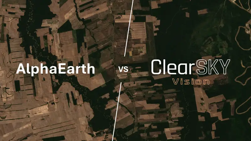
Sentinel-2 vs. ClearSKY vs. AlphaEarth: Choosing the Right Satellite Data
2025-08-21
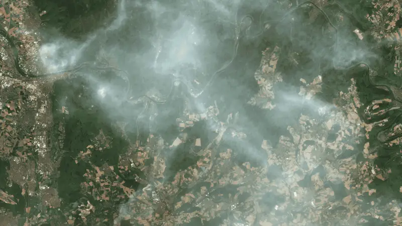
Comparing free Sentinel-2 imagery, ClearSKY’s same-day data fusion, and AlphaEarth’s global layers – strengths, trade-offs, and use cases.
2025-08-21
Comparing free Sentinel-2 imagery, ClearSKY’s same-day data fusion, and AlphaEarth’s global layers – strengths, trade-offs, and use cases.
2025-08-20
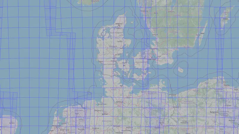
Why Sentinel-2 uses UTM tiles, what EPSG codes mean, and how to pick a projection for accurate areas and distances when working with satellite data.
2025-08-18
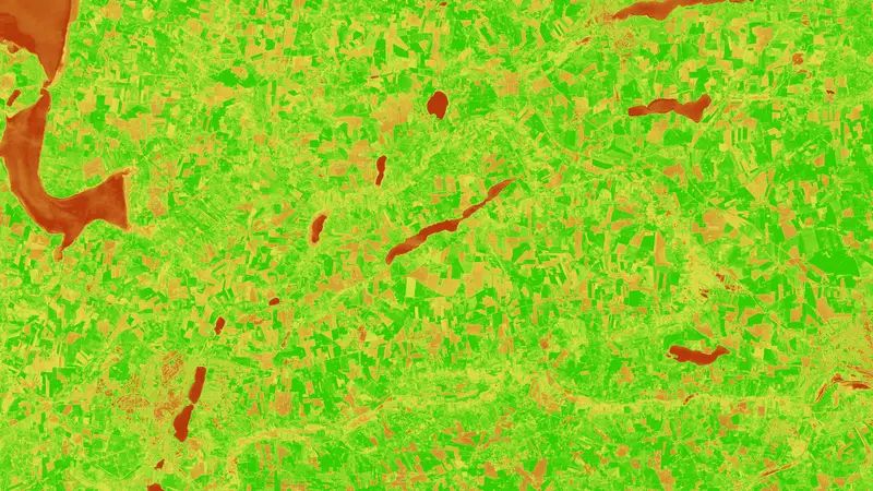
Plain-English guidance on what each vegetation index measures, how they behave under soil, haze, and saturation, and practical defaults for real-world monitoring.
2025-08-17
What ‘top-of-atmosphere’ and ‘bottom-of-atmosphere’ really mean, why L2A is computed from L1C, and when ML or analytics should use L1 vs. L2.

2025-08-15
Why optical imagery struggles in northern winters, how SAR (Sentinel-1) helps, and the processing choices that make—or-break time-series.

2025-08-11
A global, practical guide to when skies are clearest, what drives cloud patterns, and how to time cloud-free and cloudless requests with Sentinel-2 and friends.
2025-08-09
Cloud vs. haze is a continuum. Binary masks force hard thresholds that either remove usable pixels or let clouded pixels slip through.

2025-08-07
A practical guide to Sentinel-2 MSI bands at Level-1C and Level-2A, what each band is good for, and how they compare with Landsat, PlanetScope, and EarthDaily class sensors.

2025-08-05
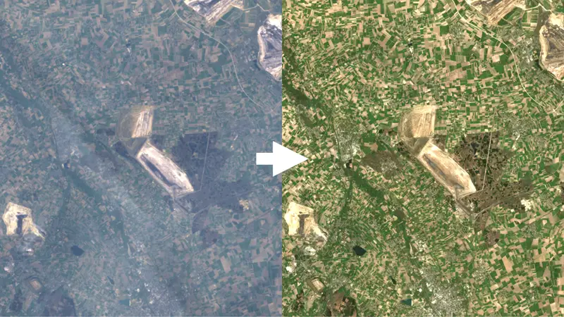
Clear definitions, methods, and trade-offs for multi-sensor harmonization (make sources comparable) and data fusion (combine them into one estimate).
2025-08-01
When to use single-date cloud-free imagery vs. multi-date cloudless mosaics – and why modern AI fusion is changing the definitions.