Technical evidence
Technology validation
ClearSKY validates cloud-removal and fusion models against real cloud-free observations across geographies, seasons, and real-world land-change events.
Methodology
Measured at scale and against meaningful change
We use global validation points and complementary metrics to test both absolute accuracy and whether reconstructed imagery preserves change over time.
Validation at scale
To ensure reliability, we validate across millions of square kilometers using imagery from diverse climates, landscapes, and seasons. Because ClearSKY never interpolates, production data can be compared directly with a nearby cloud-free Sentinel-2 validation point.
Five years of reference data help establish benchmarks and monitor model drift across difficult seasons, extreme weather, and long-term environmental change.
Validation metrics
Relative Error (%) measures how far predicted reflectance values, vegetation indices, and other spectral properties differ from the reference observation.
Percentage Explained (%)measures how well the model preserves the real change between two correctly categorized cloud-free observations.
Together, the metrics quantify both absolute accuracy and temporal fidelity.
Applied evidence
Validate the signal that matters to the decision
Agriculture rewards faithful time-series behavior; forestry rewards accurate detection of rare, high-impact events.
Agriculture
Preserve vegetation dynamics
Precision-agriculture validation is most useful when it follows the index used by the customer. In this example, 17 cloud-free Sentinel-2 points produced 16 change intervals, with an average 71.5% explained change and 1.12% average relative error.
Forestry
Focus on consequential events
Stable forests make broad averages less informative. Event-based validation instead tests whether NDVI falls and BSI rises when clearing exposes bare soil, preserving the land-cover transition that operational monitoring needs to detect.
Five-year case study
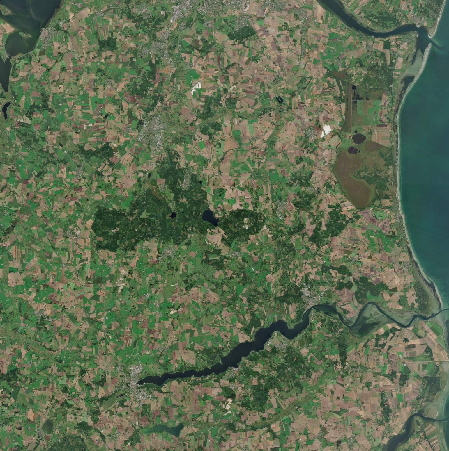
Denmark evaluation
A five-year stack spanning urban areas, forests, lakes, and agricultural fields shows how Stratus-2 behaves across seasons and extended cloud periods.
Average MAE: 61.2%
The model captured 61.2% of the mean absolute error on NDVI, indicating the overall discrepancy between predicted and true values.
Change Captured: 68.2%
For periods with over 30 days of cloud cover, 68.2% of the observed change was reflected in the estimates.
Relative Error: 8.78%
Relative error on NDVI across all cases was 8.78%, measuring proportional error against the reference values.
Evaluate ClearSKY
Test the imagery in your own workflow
Tell us which geography, cadence, and signal matter to you. We can help select representative sample data and the right validation approach.