About ClearSKY Vision
Making Earth observation dependable for real decisions.
Earth observation is powerful, but the ecosystem is fragmented. Different satellites behave differently, formats vary, clouds break coverage, and missions evolve. Downstream teams often spend more time harmonizing data than using it.
It is not only harmonization. It is cleaning, quality control, and removing inconsistencies so EO becomes dependable in automated pipelines. When the data is consistent, teams can scale monitoring across regions, seasons, and sensors without rebuilding the workflow every time.
We are building the compatibility layer for Earth observation: cloud-free, analysis-ready imagery that stays consistent across sensors and time, so GIS and analytics teams can build once and rely on it.
Built for downstream teams
Designed to drop into GIS, dashboards, and models with less custom glue.
Operational reliability
Consistency that holds up when input availability shifts and missions change.
Continuity over perfection
Better monitoring comes from reliable cadence, not waiting for cloudless luck.
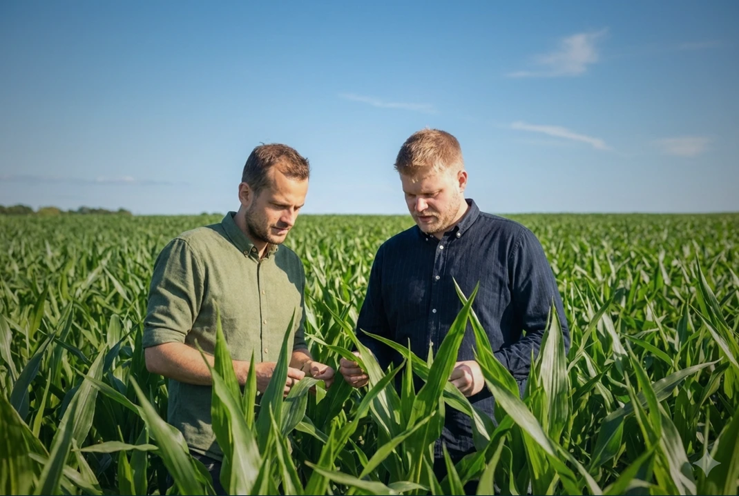






What we optimize for
Reliable monitoring beats perfect snapshots
We focus on continuity, consistency, and downstream usability, the things that make EO practical in production.
Analysis-ready by default
Less preprocessing and fewer surprises when data lands in GIS, dashboards, or models.
Time series you can trust
Consistency across time so monitoring does not break when sensors, missions, or availability changes.
Cloud-free continuity
Reliable coverage by combining complementary sensors instead of waiting for a perfect acquisition.
How we do it
Fusion and harmonization, delivered as a stable output
No single sensor is enough. We combine complementary sources to improve coverage, and standardize outputs so time series stay comparable.
Sensor-agnostic outputs
Build downstream workflows once and reuse them across satellites and geographies.
Cross-sensor harmonization
Standardization that keeps geometry and radiometry comparable across sources.
Frequent updates
Higher temporal reliability through fusion when any one sensor falls short.
Reliability for production teams
Stable pipelines for organizations that depend on EO as an operational input.
Recognition
Prizes and acknowledgements
We have been recognized by leading European innovation and space ecosystem programs.





The people
Meet the team
Latest News
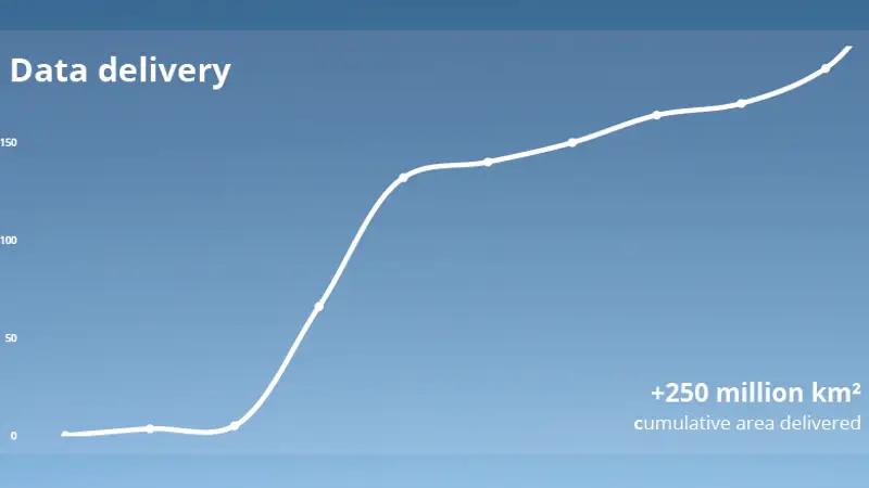
2025 in Review: Making ClearSKY More Flexible
2026-01-02
A rebuild year focused on flexibility, usability, global performance, and better pricing. Dashboard launch, new tools, f…
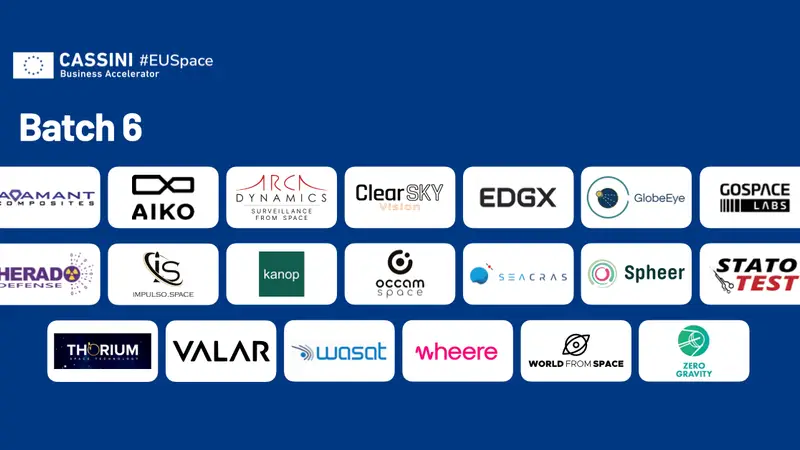
ClearSKY Vision Joins CASSINI Accelerator (Batch 6)
2025-11-04
Joining CASSINI Accelerator to expand into new markets and verticals with our cloudless satellite imagery.
Next-Gen Nimbus Model Enters Validation Phase
2025-07-21
Nimbus brings a larger architecture for ultra-stable time series and dual L1C/L2A outputs.
ClearSKY Joins SpaceFounders Accelerator Program
2025-06-18
Selected for the 2025 autumn cohort backed by CNES, DLR, and the French Ministry of Armed Forces.
