Cloud-free Sentinel-2 for continuous land monitoring
ClearSKY fuses optical and SAR imagery from multiple satellite constellations to deliver Sentinel-2-compatible imagery for continuous land monitoring.
- Cloud-free Sentinel-2-compatible imagery
- Near real-time and historical delivery
- Built for agriculture, forestry and land monitoring
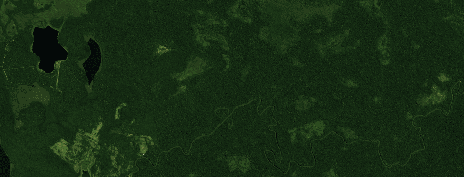
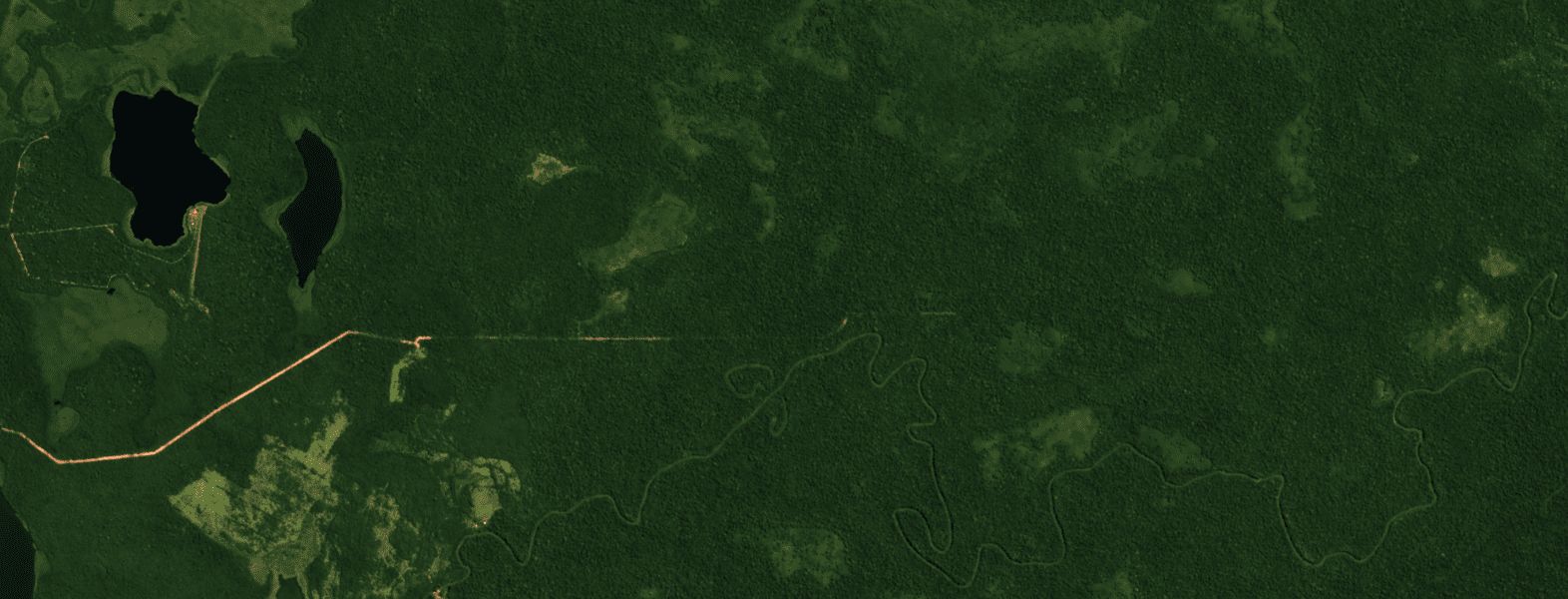
Cloud-free Sentinel-2-compatible imagery generated through ClearSKY data fusion.
How it works
Advanced processing techniques
Three complementary processing stages turn fragmented observations into clear, consistent and workflow-compatible imagery.
Optical Data Cleaning
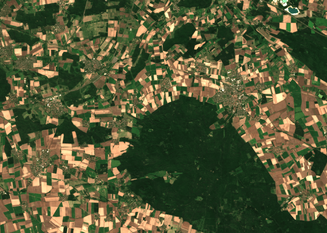
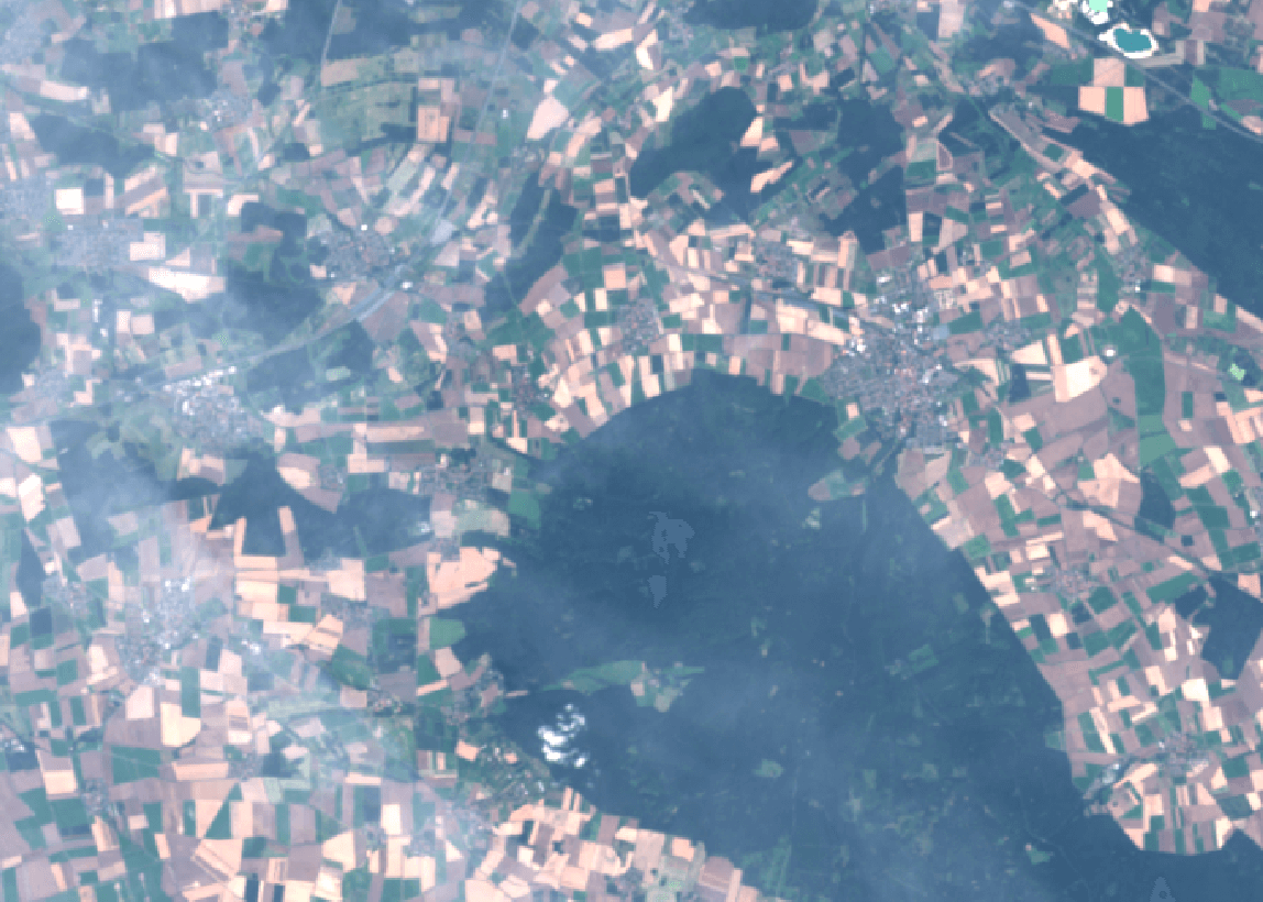
We clean up raw Sentinel-2 data to remove clouds, cloud shadows, and other image artifacts. Enhancing clarity and preserving essential spectral details across all bands. This in itself adds up to 20% more useful data.
SAR Optical Fusion
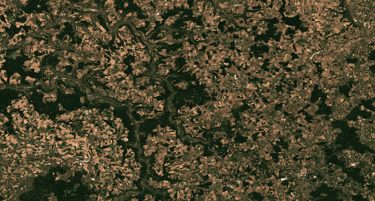
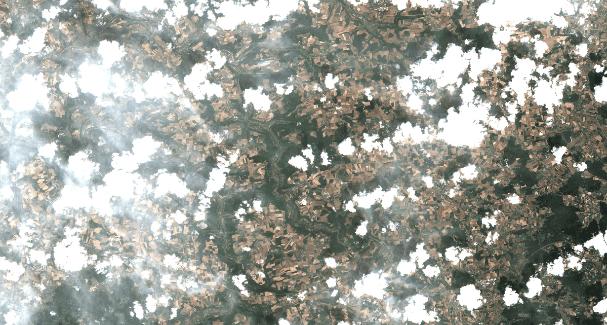
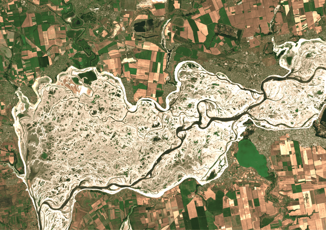
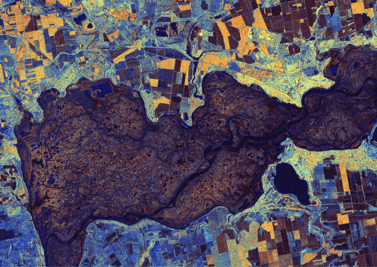
We fuse Sentinel-1 SAR data with optical imagery to generate clear, cloud-free and consistent optical imagery. This helps ensure uninterrupted insights, even in countries with cloud-prone areas and time periods.
Satellite Translation
Leveraging data from diverse optical satellites, we translate the imagery into a standardized Sentinel-2 format for seamless integration with your workflows. All happening within the same data fusion service.
Operational service
Data fusion as a service
Configure the area, cadence, monitoring approach and model around the way your program operates.
Minimum Order Area
Start Exact Field coverage at 0.5 km², keeping monitoring accessible even for small projects.
Flexible Revisit Speeds
Choose data fusion revisit speeds from 1 to 7 days to capture rapid ground changes.
Monitoring Options
Use exact AOIs for Field Monitoring or whole ClearSKY mini-tile and full-tile blocks for Grid Monitoring.
Coverage Rates for Every Scale
Exact Field, mini-tile, and full-tile coverage each have a published rate, so pilots and large monitoring programs remain easy to compare.
Custom Satellite Selection
Tailor your order by choosing the model that suits you, and optional satellite to meet specific criteria.
Near Real-Time Delivery
Order future delivery of live data or get historical data delivered a few hours after ordering.
To order imagery on-demand and experience the full potential of our data fusion capabilities, please visit ClearSKY Dashboard.
Level-1 (TOA) vs Level-2A (BOA)
We historically delivered Level-2A (BOA) Sentinel-2 products. With our new Nimbus model, orders are produced at Level-1 (TOA) by default. In your downloads you can get both: the Nimbus Level-1 output and a Level-2A product (Sen2Cor-style atmospheric correction applied) for workflows that prefer BOA reflectance.
Level-1C (TOA) via Nimbus
Top-of-Atmosphere reflectance generated by Nimbus (cloudless, temporally consistent and analysis-ready).
- Fastest availability and best temporal consistency for our fusion models.
- Great for change detection & ML where relative signals and cadence matter most.
- More sensitive to atmospheric effects; some indices can vary more across dates.
Level-2A (BOA) Download
Bottom-of-Atmosphere reflectance (Sen2Cor-like), derived directly from the Nimbus Level-1 products.
- Better absolute reflectance for cross-date comparability and biophysical retrievals.
- Preferred for BOA-based indices (e.g., more stable vegetation metrics in some settings).
- Slightly higher latency and occasional artifacts over complex atmospheres or bright targets.
Ordering: When you order with Nimbus, we produce a Level-1C (TOA) product. From the same order you can download Level-2A (BOA) as needed. No re-ordering required as long as the data is available. Different Level-2A BOA formats available upon request.
Level-1 (TOA) provides 13 spectral bands (B1–B12) while Level-2A (BOA) downloads include 12 bands.
Technical deep dive
See the full fusion approach
Explore how optical and radar inputs, temporal integrity, wall-to-wall coverage and model choice come together in the delivered product.
Open the in-depth service description
Click to expand for more details.
Applications
Continuous imagery for land-based decisions
Our cloudless Level-1C and Level-2A data formats are compatible and interoperable with many different applications in agriculture, forestry, environmental and supply chain tracking.
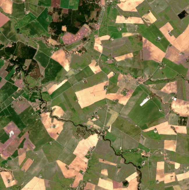
Precision Agriculture
Continuous monitoring of arable crops and pasture fields.
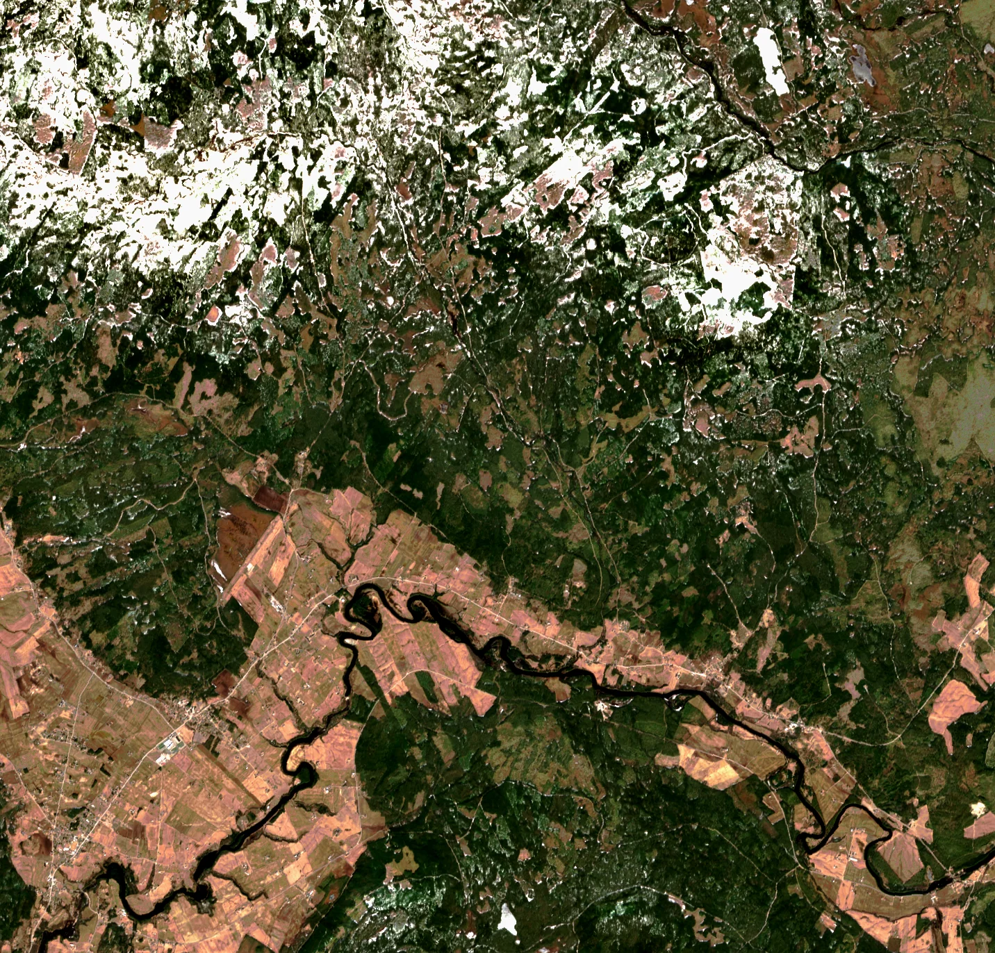
Modern Forestry
Wall-to-wall change detection for forests in hard to reach places.
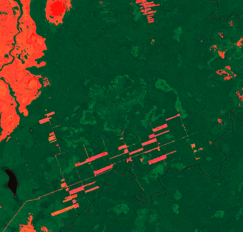
Supply Chain
Ensure compliance with continuous monitoring of deforestation.
Model selection
Cloudless fusion models
Explore our production-ready AI-powered data fusion models below.
Output
- Type
- Multispectral
- Format
- L2A
- Resolution
- 10 m
Fit
- Best for
- New Production OrdersAgriculture
- Not ideal for
- Fastest Possible DeliverySnow Suppressed Products
- Strengths
- HazeThin CirrusCloud ShadowsEfficient Production
- Snow handling
- Keeps Snow
Ordering limits
- AOI
- 0.5 km²+
- Geometry
- Polygon, MultiPolygon
Inputs
- Data types
- OpticalSAR
- Required
- Sentinel-1Sentinel-2Landsat 8/9
Overview
Stratus-3 is the recommended ClearSKY production model for cloudless Sentinel-2 L2A imagery. It follows a similar architecture to Stratus-2, but has been trained further and optimized for more efficient production. For customers, that means the same familiar 10-band Sentinel-2 L2A output with faster production workflows and lower expected latency.
Notes & delivery
Output
- Type
- Multispectral
- Format
- L2A
- Resolution
- 10 m
Fit
- Best for
- Fast DeliveryNear Real Time Workflows
- Not ideal for
- Maximum Input ContextCustomers Prioritizing Best Quality Over Speed
- Strengths
- Fast TurnaroundLow LatencyApi WorkflowsOperational Monitoring
- Snow handling
- Keeps Snow
Ordering limits
- AOI
- 0.5 km²+
- Geometry
- Polygon, MultiPolygon
Inputs
- Data types
- OpticalSAR
- Required
- Sentinel-1Sentinel-2
- Optional
- Landsat 8/9
Overview
Stratus-2-Fast is built for customers who care most about low latency. It uses a similar architecture to Stratus-2 and Stratus-3, but relies on less input data to reduce production time. Landsat 8/9 can be used when needed, but is optional. When Landsat is not used, delivery can often be under 30 minutes, depending on AOI size, order mode, region, and input availability.
Notes & delivery
Output
- Type
- Multispectral
- Format
- BOA
- Resolution
- 10 m
Fit
- Best for
- Full Spectral WorkflowsAdvanced Remote Sensing Users
- Not ideal for
- Standard Production Orders
- Strengths
- Full Spectral OutputImproved Sar Noise HandlingModular InputsMulti Sensor Workflows
- Snow handling
- TBD
Ordering limits
- AOI
- 0.5 km²+
- Geometry
- Polygon, MultiPolygon
Inputs
- Data types
- OpticalSAR
- Required
- Sentinel-1Sentinel-2
- Optional
- Landsat 8/9
Overview
Nimbus (Multispectral) is available for users who need full spectral Sentinel-2 outputs and ClearSKY's next-generation modular data-fusion pipeline. It is designed around flexible input handling and improved SAR processing compared with the Stratus family.
Notes & delivery
Output
- Type
- Index
- Format
- NDVI
- Resolution
- 10 m
Fit
- Best for
- Ndvi Time SeriesDashboards
- Not ideal for
- Applications Requiring Multispectral
- Strengths
- Lighter DownloadsSimple WorkflowsVegetation MonitoringDashboard Ready Output
- Snow handling
- TBD
Ordering limits
- AOI
- 0.5 km²+
- Geometry
- Polygon, MultiPolygon
Inputs
- Data types
- OpticalSAR
- Required
- Sentinel-1Sentinel-2
- Optional
- Landsat 8/9
Overview
Nimbus (NDVI) is available for users who want vegetation-index time series without downloading full multispectral imagery. It is designed for lighter workflows, dashboard use cases, and monitoring pipelines where NDVI is the primary output.
Notes & delivery
Need legacy or on-request models? View the model guide and specifications.
Published rates
Transparent monitoring pricing
A quick Nimbus daily-rate snapshot. The pricing guide owns the complete table, model comparison, and calculation rules.
Exact AOI
€1.82
per km² / month
Mini-tile
€1.00
per km² / month
Full tile
€0.18
per km² / month
Required model inputs and continuous daily processing are included. Displayed prices exclude VAT and other applicable taxes unless expressly stated. Optional inputs, Priority Delivery, and cadence can adjust the total.
Common questions
Cloudless Sentinel-2 — Quick FAQ
How is ClearSKY different from cloud masking or mosaics?
Short answer: masking hides cloudy pixels. ClearSKY reconstructs them.
- Reconstruction, not omission: We fill cloud-covered areas instead of dropping them.
- Clean optical pixels: We remove haze and other artifacts, not just clouds.
- SAR-informed continuity: We extract information from SAR to reduce gaps under persistent cloud cover.
- Harmonized outputs: Consistency across time and mixed inputs, designed for operational monitoring.
- Operational cadence: Daily, every 2 days, every 4 days, or weekly delivery rather than waiting for a mosaic window.
How is ClearSKY different from other “cloud-free” offerings?
- Multi-sensor by design: Sentinel-2 plus SAR, with configurable extra inputs when needed.
- Temporal integrity: Historical production is backward-looking. No future leak into past dates.
- Product options: COG GeoTIFF delivery, plus TOA or BOA and harmonized or non-harmonized outputs.
- Ordering flexibility: Tiles and polygon AOIs (including bboxes) for operational workflows.
How do I access cloud-free Sentinel-2 images?
What is meant by “Image Frequency”?
Evaluate it yourself
Access sample data
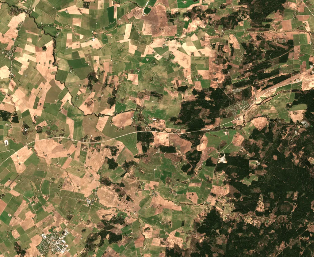
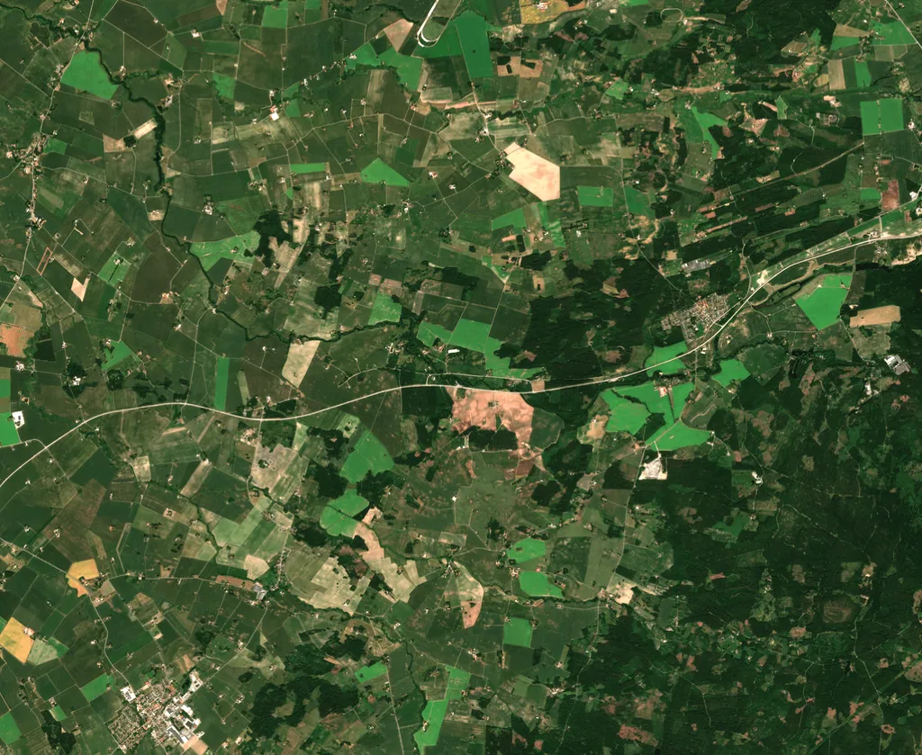
Here’s a short time-series from southern Sweden generated with our Stratus-2 cloud-removal model on a six-day cadence. It captures the early growing season, when vegetation changes quickly from one acquisition to the next.
2023-04-29
2023-05-05
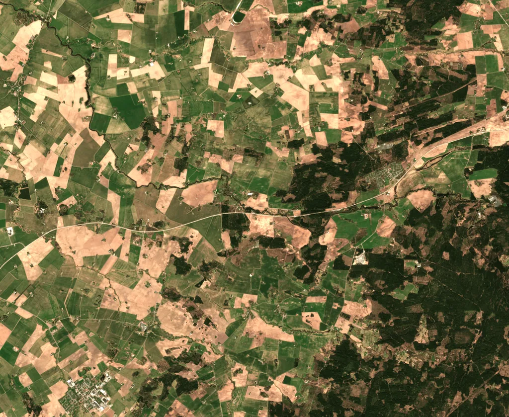
2023-05-11
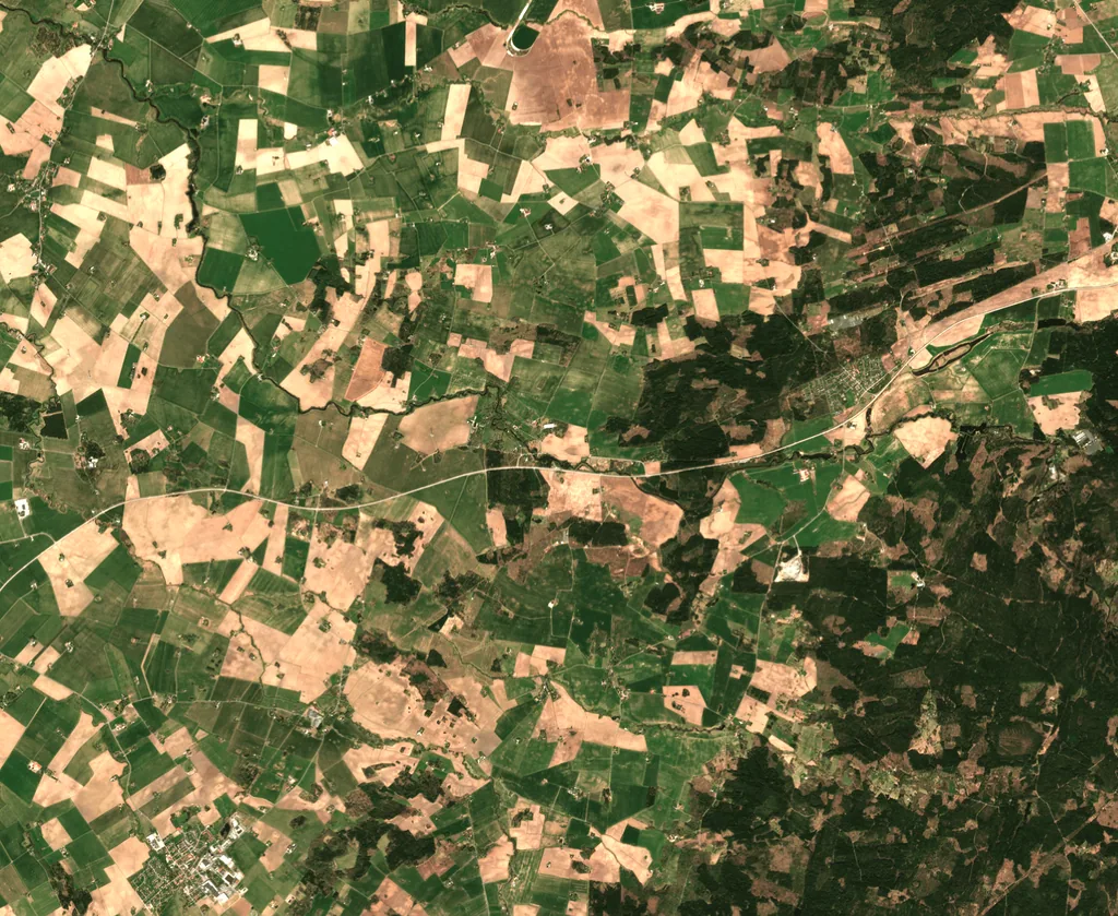
2023-05-17
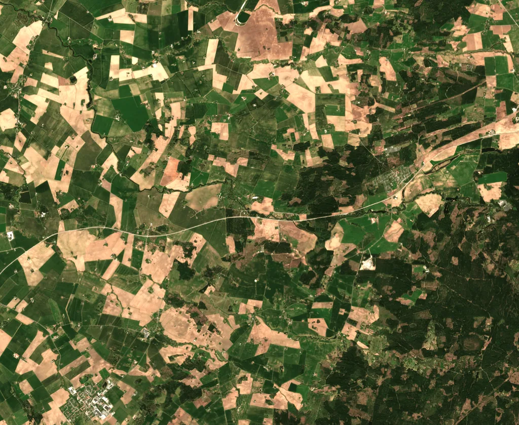
2023-05-23
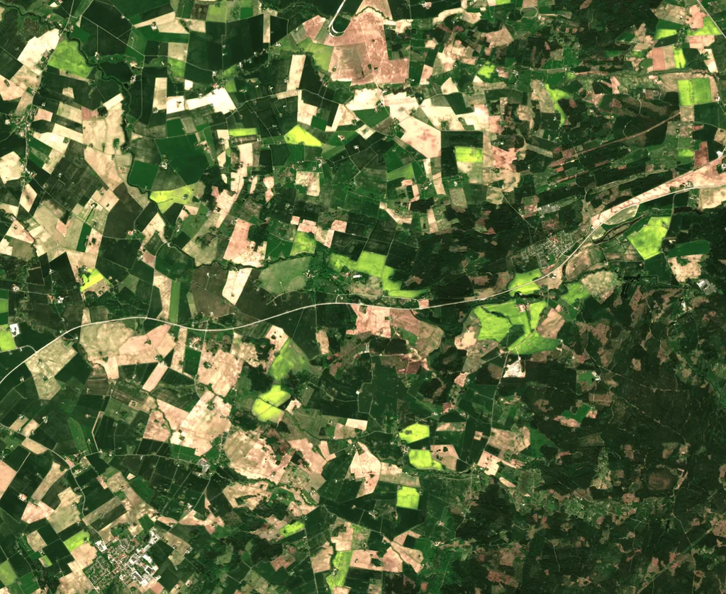
2023-05-29
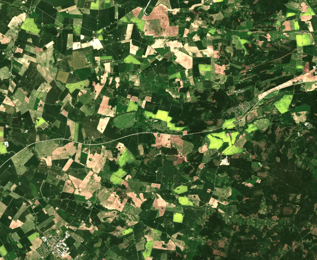
2023-06-04
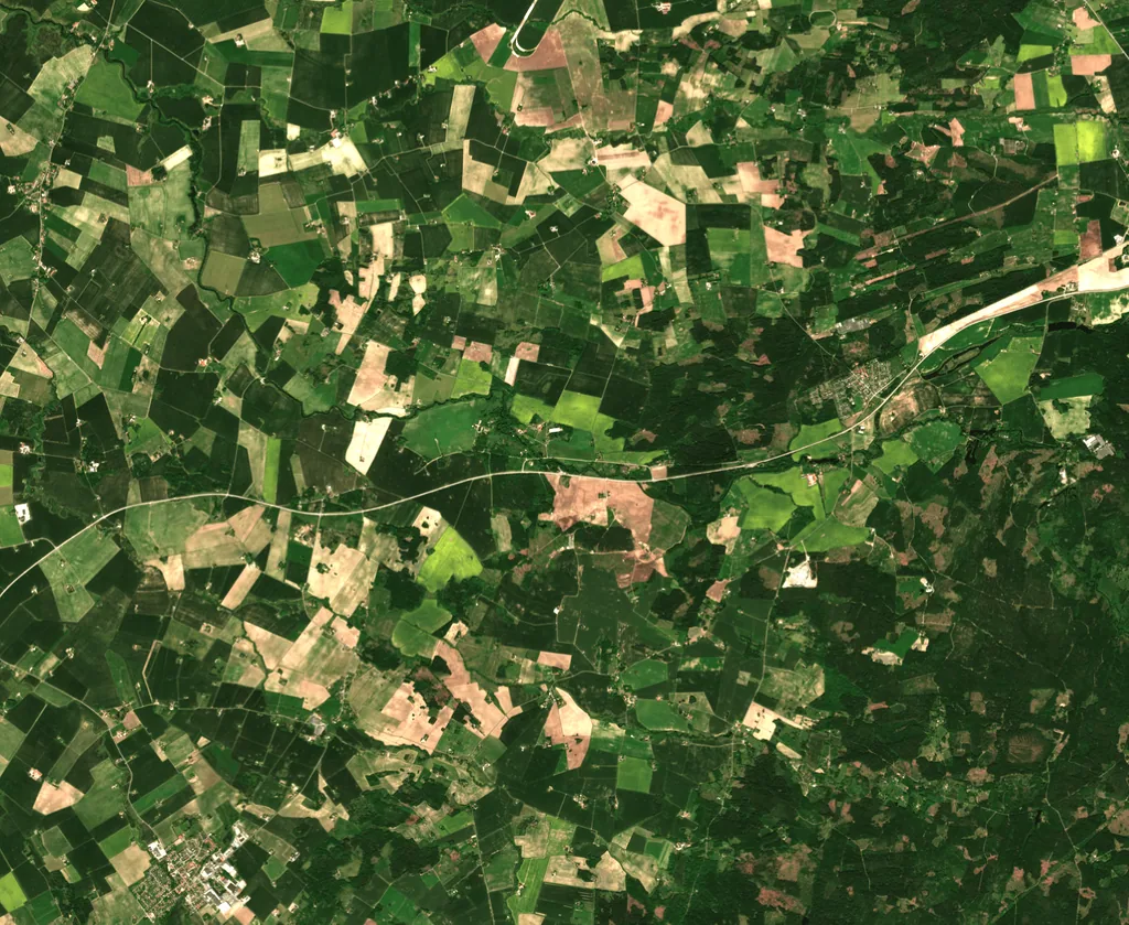
2023-06-10
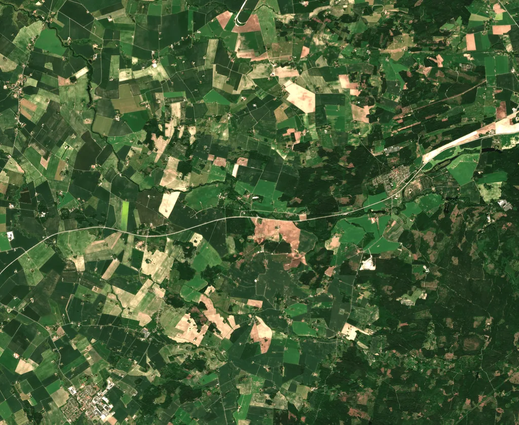
2023-06-16
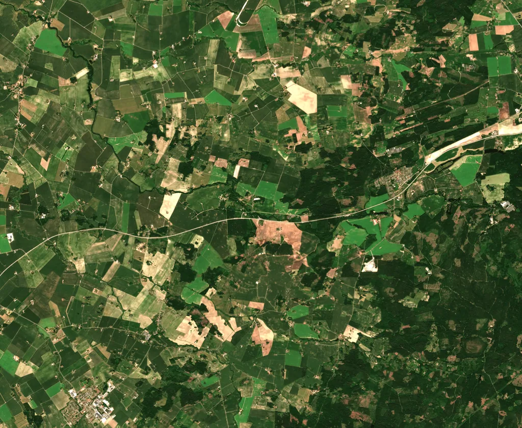
2023-06-22
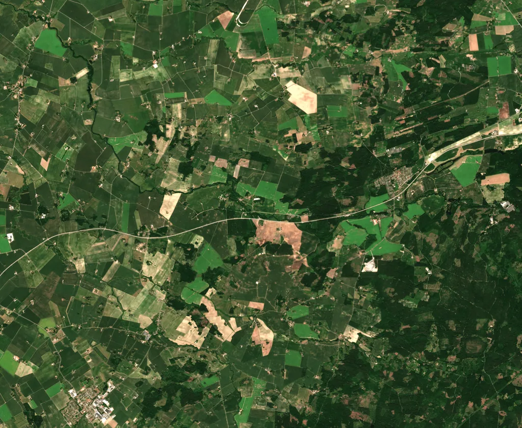
2023-06-28
Want the full sample package? We’ll send downloadable GeoTIFFs and a few additional previews so you can evaluate quality, cadence, and spectral consistency in your own workflow.