Cloud‑Free Environmental Monitoring
Track wetlands, restoration sites, and protected areas with gap‑free time‑series and defensible change metrics.
Trusted by leading organizations
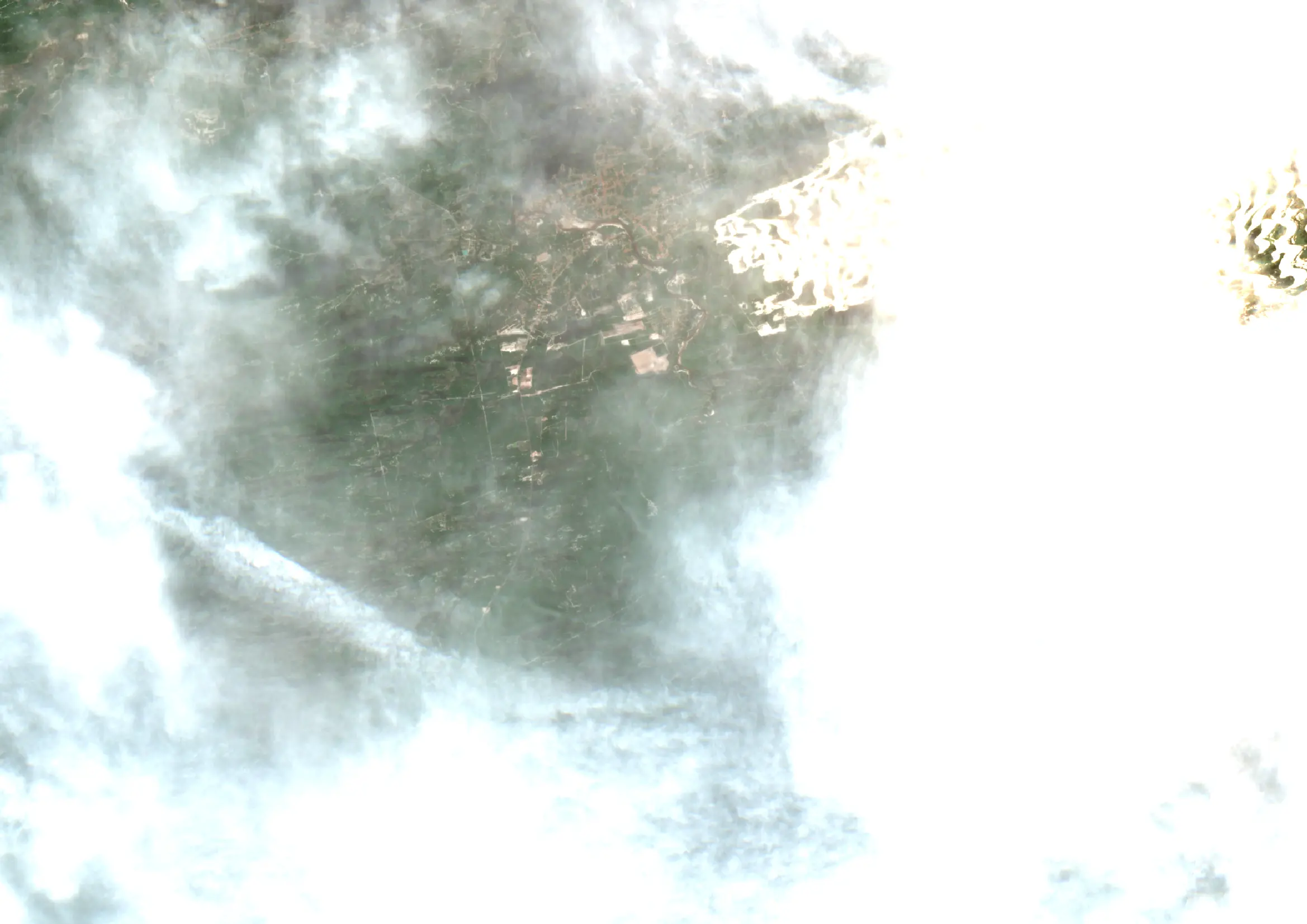
The Cloudy Challenge
Short monitoring windows and infrequent cloud‑free passes lead to missed events—drawdowns, vegetation peaks, or disturbance after storms. Discontinuous imagery undermines baselines and weakens reports to funders or agencies. Teams need dependable, cloud‑free, analysis‑ready layers to quantify change, prove outcomes, and trigger targeted field work.
- Persistent cloud cover
- Broken / delayed time-series
- Weak audit evidence
Our Solution
ClearSKY fuses optical and SAR satellites using artificial intelligence to reconstruct complete, Sentinel-2 compatible images. You get cloud-free, analysis-ready data via dashboard or API, so you can focus on decisions, not cloud, shadows and image gaps. Demonstrate impact with consistent evidence and reduce costly site visits by focusing on what changed, where, and when.
- Don’t miss events
- Quantify change
- Target fieldwork
Clouds out, decisions in!
Consistent, frequent, gap-free views for grand-scale monitoring.
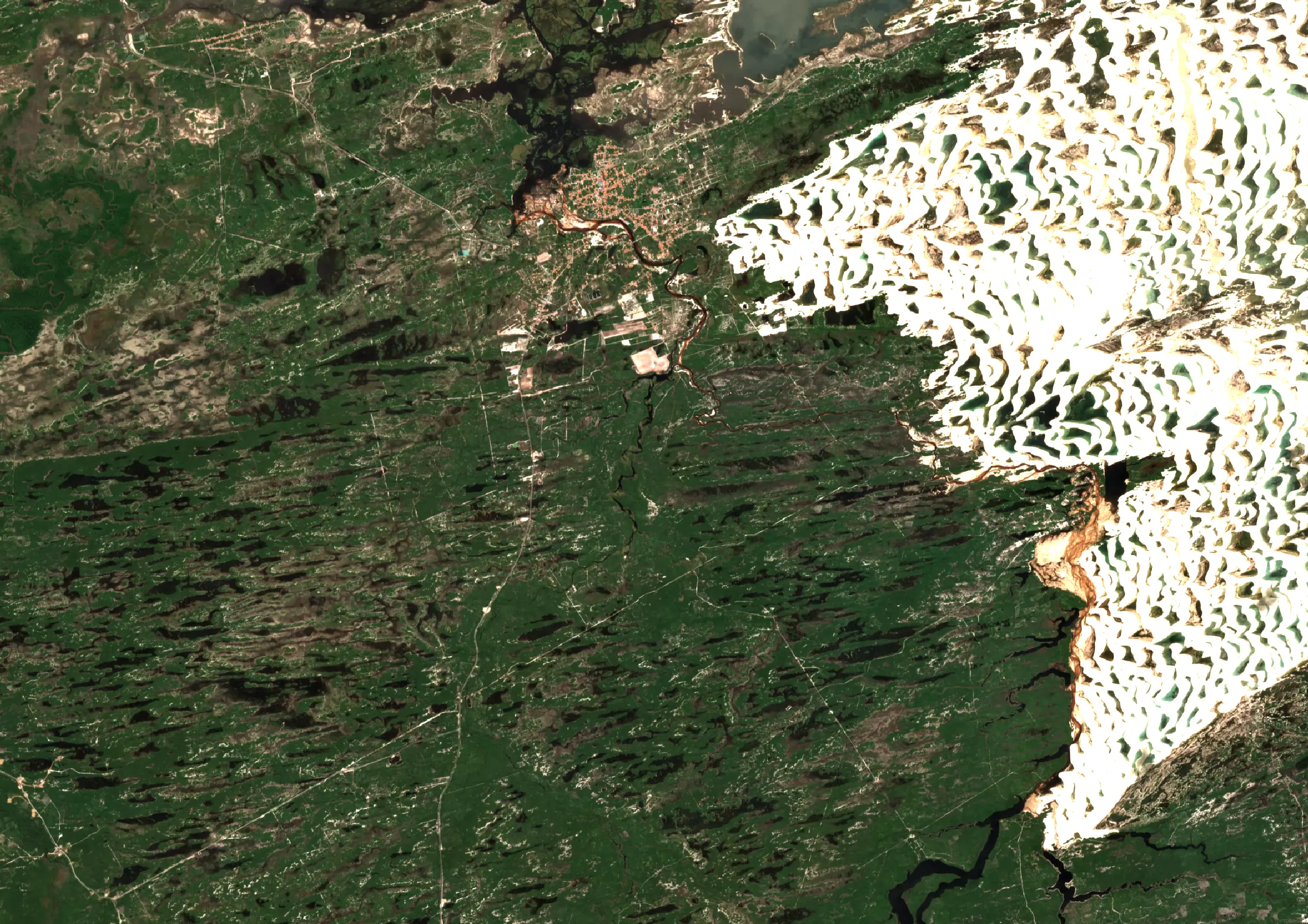
Lençóis Maranhenses, Brazil · May 2025 · 10 m bands (S2-compatible)
How it works
Fuse
We combine optical + SAR and other sensors to remove clouds, shadows and gaps.
Deliver
Get Sentinel-2 compatible tiles or composites through API or dashboard.
Analyze
Use analysis-ready pixels immediately. No masking or stitching required.
Why ClearSKY for Environment
AI-Powered Fusion
Combine optical & SAR for cloud-free mosaics.
Reliable Cadence
Daily to weekly updates.
Fits Your Workflow
Tiles, composites, API, or dashboard.
Analysis Ready
No masking or gap-filling needed.
Enterprise Support
Stable service with responsive help.
Scales Globally
From small plots to regions.
Start with a free trial
Explore cloud-free, analysis-ready imagery in our dashboard. Switch to the API when you’re ready.