ClearSKY Starts ESA-Supported All-Weather COVER Demonstration Project
2026-04-22 · 3 min read · ESA · Earth Observation · Agriculture · Remote Sensing · Denmark · Sweden
ClearSKY has started a new ESA-supported demonstration project together with Styrelsen for Grøn Arealomlægning og Vandmiljø (SGAV): All-Weather COVER. All-Weather COVER stands for Catch-crop Observation and Verification with Early-warning for Regulation. The project focuses on a practical Earth observation challenge: how to monitor catch crops reliably during the Danish autumn, when cloud cover often limits the usefulness of standard optical satellite imagery and the monitoring window is short.
For authorities, that is not just a data problem. It is a timing problem. To support real administrative use, observations need to arrive frequently, consistently, and early enough to be useful in the decision process. That is exactly the kind of challenge ClearSKY is built for. We already operate analysis-ready, cloud-robust satellite time series at national scale, and with All-Weather COVER we are building a pilot service that turns that capability into something more directly usable for catch-crop monitoring workflows.
Why catch crop monitoring is difficult
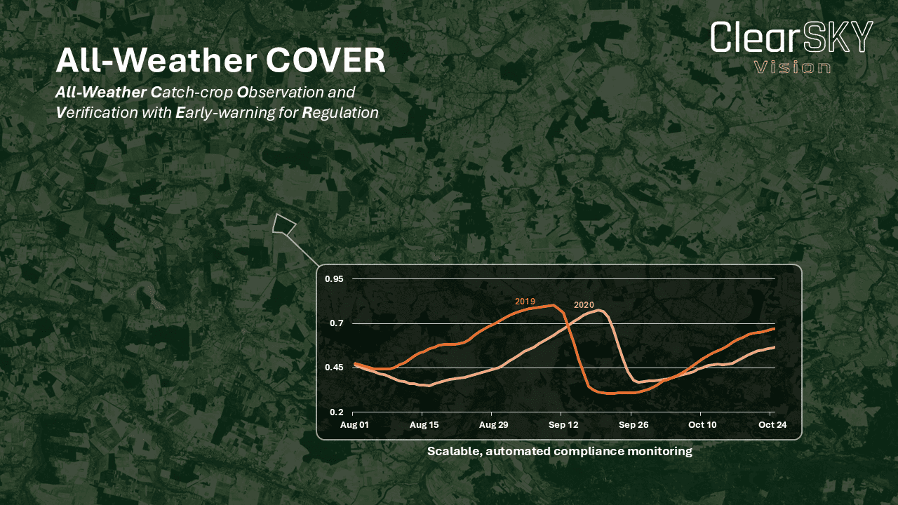
Catch crop monitoring is not only about identifying vegetation. It is also about whether the right observations are available at the right time. The relevant monitoring period falls in autumn, when persistent cloud cover can leave large gaps in optical imagery. At the same time, crop development happens within a limited seasonal window. If observations are missing at the wrong time, it becomes harder to assess establishment in a robust and repeatable way.
This is where all-weather, multi-sensor approaches become important. By combining different satellite sources, it becomes possible to maintain a more stable flow of observations during the period when authorities need them most.
From operational capability to pilot service
The starting point for this project is not a blank slate. ClearSKY already operates the underlying production pipeline needed to generate analysis-ready, cloud-robust satellite data at scale. With All-Weather COVER, we are building on that operational foundation to develop a pilot service tailored to catch-crop monitoring. The goal is to support earlier, more reliable, and more scalable monitoring through parcel-level indicators, including estimates of catch-crop coverage and early-warning signals on whether parcels are on track to meet the relevant deadline.
That includes not only better observation continuity during cloudy periods, but also more usable outputs for downstream decision-making and case handling.
Work in Denmark, with transferability work in Sweden
The project is centered on the Danish use case together with SGAV. It also includes transferability work with the Swedish Board of Agriculture (Jordbruksverket), helping assess how the approach can be adapted to a Swedish operational context. In parallel, the Swedish University of Agricultural Sciences, will support verification-related work.
That combination matters. It keeps the project grounded in a concrete operational need in Denmark, while also testing how the approach may transfer to other national contexts.
Why this matters
Catch crops play an important role in agricultural and environmental policy, including efforts related to nutrient management and water quality. Better monitoring does not solve that on its own, but it can help make implementation more timely, transparent, and scalable.
For ClearSKY, All-Weather COVER is a strong example of the kind of downstream Earth observation service we want to build: not just better satellite data, but operational services that make that data more useful in real-world workflows. We look forward to working with SGAV and the Swedish partners on the All-Weather COVER project.