Cloud‑Free Satellite Data
High‑quality, high‑revisit, cloudless mosaics for any project, industry, or research goal.
Trusted by leading organizations
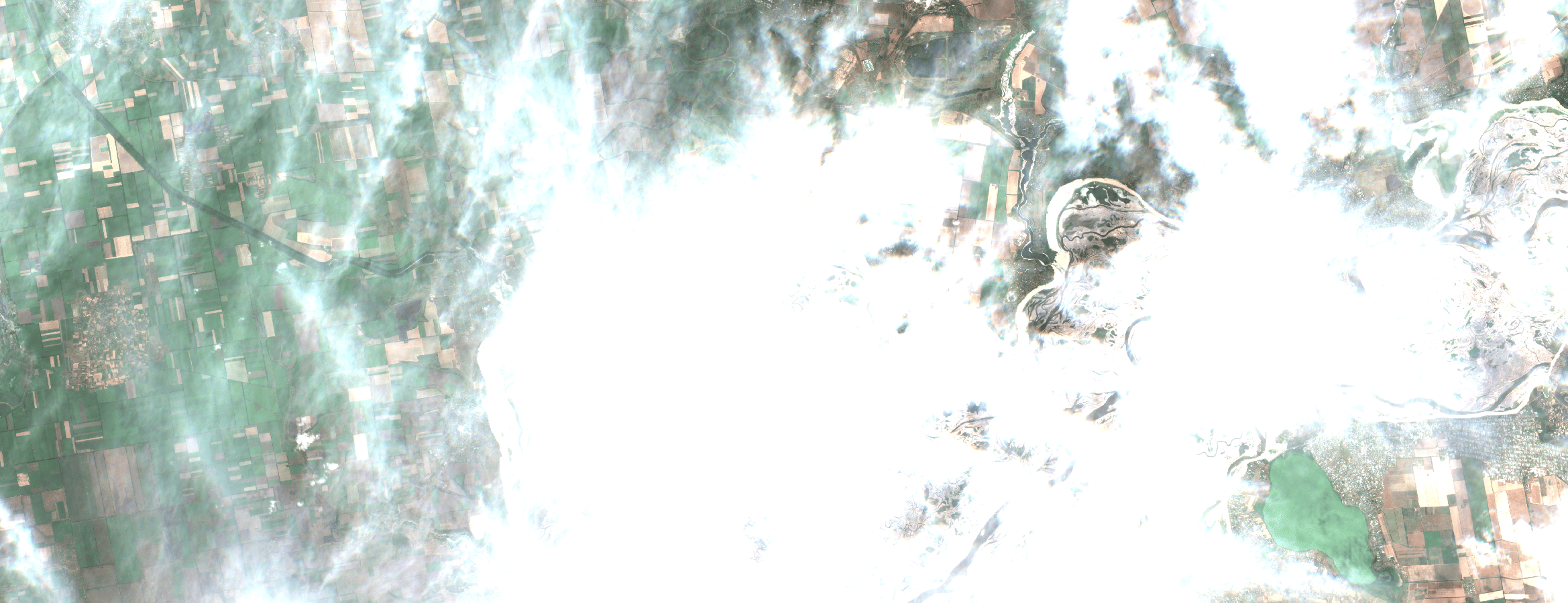
The Cloudy Challenge
When clouds remove half your scenes, timelines slip and stakeholders lose confidence. Stitching partial mosaics and filling gaps increases cost and risk while degrading analytics. Teams need consistent, cloud‑free surfaces so KPIs, dashboards, and models remain stable across seasons and geographies.
- Persistent cloud cover
- Broken / delayed time-series
- Weak audit evidence
Our Solution
ClearSKY fuses optical and SAR satellites using artificial intelligence to reconstruct complete, Sentinel-2 compatible images. You get cloud-free, analysis-ready data via dashboard or API, so you can focus on decisions, not cloud, shadows and image gaps. Plug cloud‑free mosaics into your workflow, dashboard or API, and get back to delivering insights.
- Reliable cadence
- Simple integration
- Analysis‑ready
Clouds out, decisions in!
Consistent, frequent, gap-free views for grand-scale monitoring.
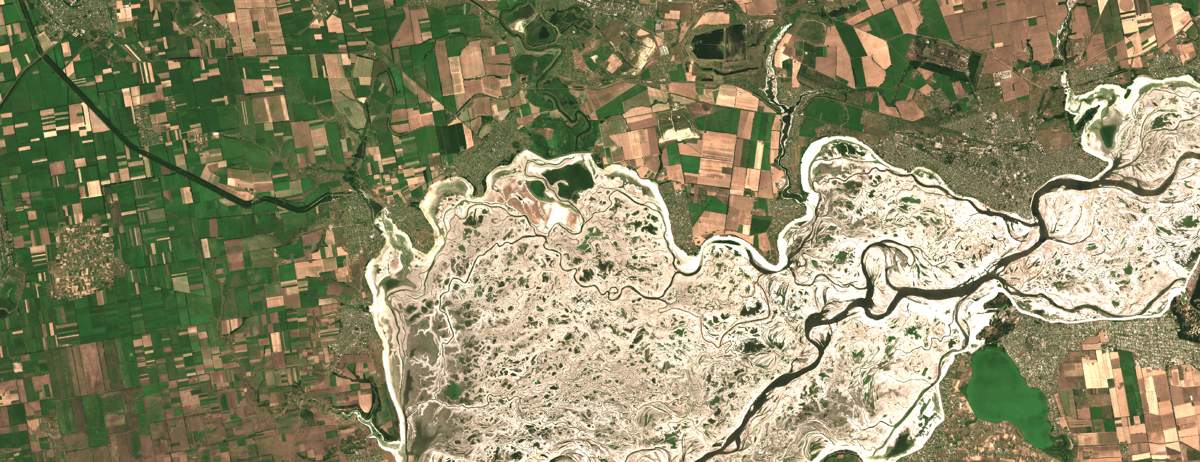
Dnieper River, Ukraine · July 2023 · 10 m bands (S2-compatible)
How it works
Fuse
We combine optical + SAR and other sensors to remove clouds, shadows and gaps.
Deliver
Get Sentinel-2 compatible tiles or composites through API or dashboard.
Analyze
Use analysis-ready pixels immediately. No masking or stitching required.
Why ClearSKY
AI-Powered Fusion
Combine optical & SAR for cloud-free mosaics.
Reliable Cadence
Daily to weekly updates.
Fits Your Workflow
Tiles, composites, API, or dashboard.
Analysis Ready
No masking or gap-filling needed.
Enterprise Support
Stable service with responsive help.
Scales Globally
From small plots to regions.
Start with a free trial
Explore cloud-free, analysis-ready imagery in our dashboard. Switch to the API when you’re ready.