Cloud‑Free Sentinel‑2 for Agriculture
See every field, every day. Gap‑free, analysis‑ready imagery for grazing, variable‑rate, and compliance.
Trusted by leading organizations
The Cloudy Challenge
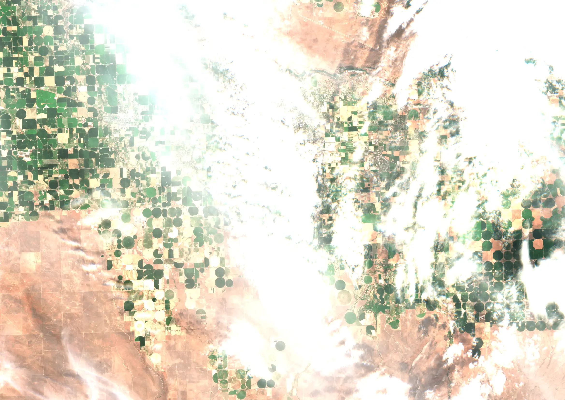
Cloud cover hides field conditions for weeks when you’re planning grazing rotations, scouting issues, or documenting compliance. Gaps in time‑series make indices noisy and delay nitrogen and spray decisions. When audits arrive, missing imagery weakens evidence for practices like pasture management or catch‑crop coverage. Teams need a dependable, cloud‑free view at the parcel level so maps, alerts, and KPIs match real field timing.
- Persistent cloud cover
- Broken / delayed time-series
- Weak audit evidence
Our Solution
ClearSKY fuses optical and SAR satellites using artificial intelligence to reconstruct complete, Sentinel-2 compatible images. You get cloud-free, analysis-ready data via dashboard or API, so you can focus on decisions, not cloud, shadows and image gaps. Use it to schedule grazing, verify catch‑crop coverage, and keep agronomy maps consistent across the season.
- Daily/weekly, cloudless series
- S2 semantics and compatibility
- Plug‑and‑play API integration
Clouds out, decisions in!
Consistent, frequent, gap-free views at parcel level.
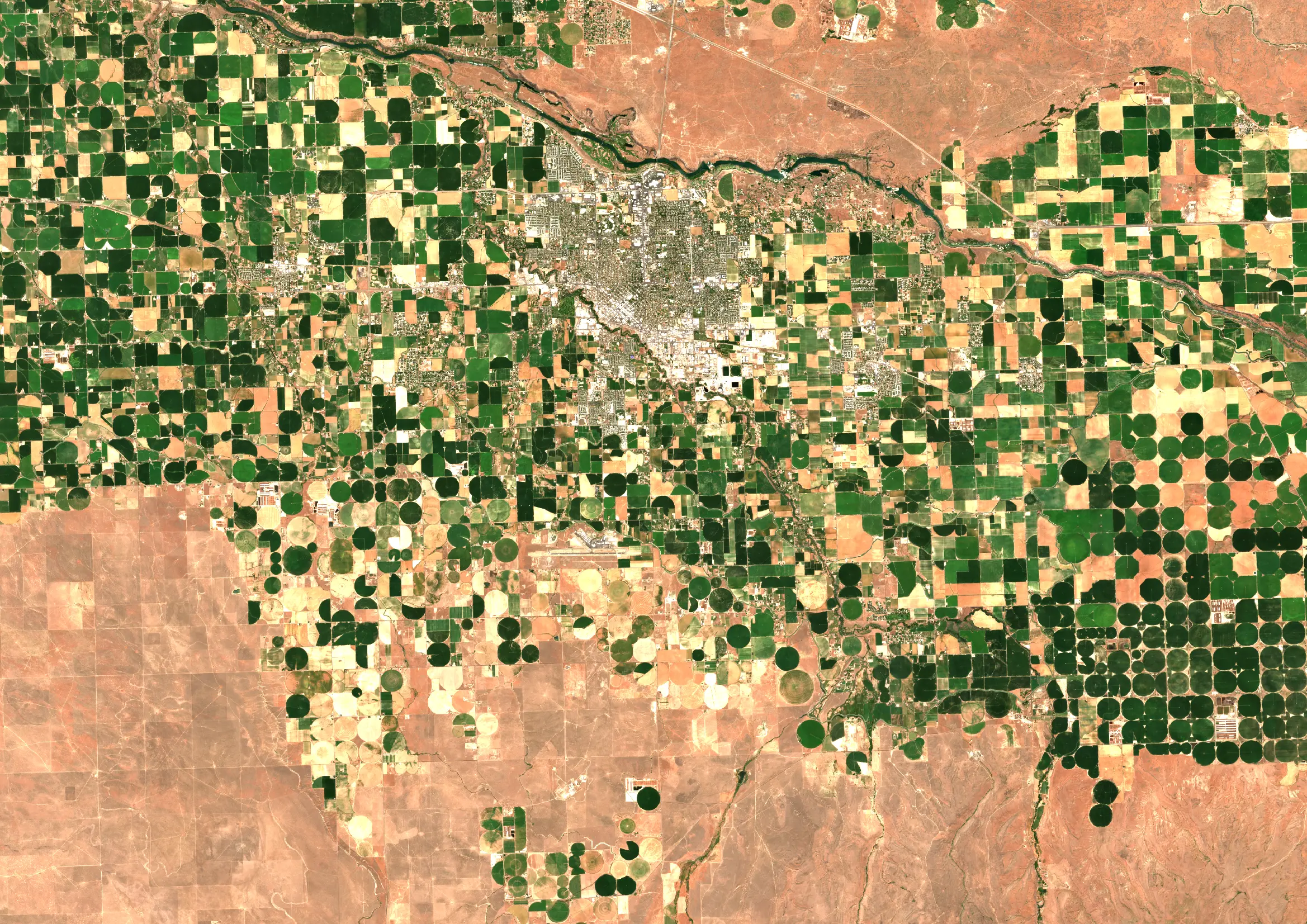
Twin Falls, USA · May 2025 · 10 m bands (S2-compatible)
How it works
Fuse
We combine optical + SAR and other sensors to remove clouds, shadows and gaps.
Deliver
Get Sentinel-2 compatible tiles or composites through API or dashboard.
Analyze
Use analysis-ready pixels immediately. No masking or stitching required.
From many inputs to one cloud-free output
Different satellites arrive on different days. We fuse them into a consistent, analysis-ready timeline.
Why ClearSKY for Agriculture
AI-Powered Fusion
Combine optical & SAR for cloud-free mosaics.
Reliable Cadence
Daily to weekly updates.
Fits Your Workflow
Tiles, composites, API, or dashboard.
Analysis Ready
No masking or gap-filling needed.
Enterprise Support
Stable service with responsive help.
Scales Globally
From small plots to regions.
Start with a free trial
Explore cloud-free, analysis-ready imagery in our dashboard. Switch to the API when you’re ready.