Case Study
SEGES Innovation
How SEGES Innovation Overcame Cloud Cover with ClearSKY Vision
Continuous Cloud-Free Monitoring
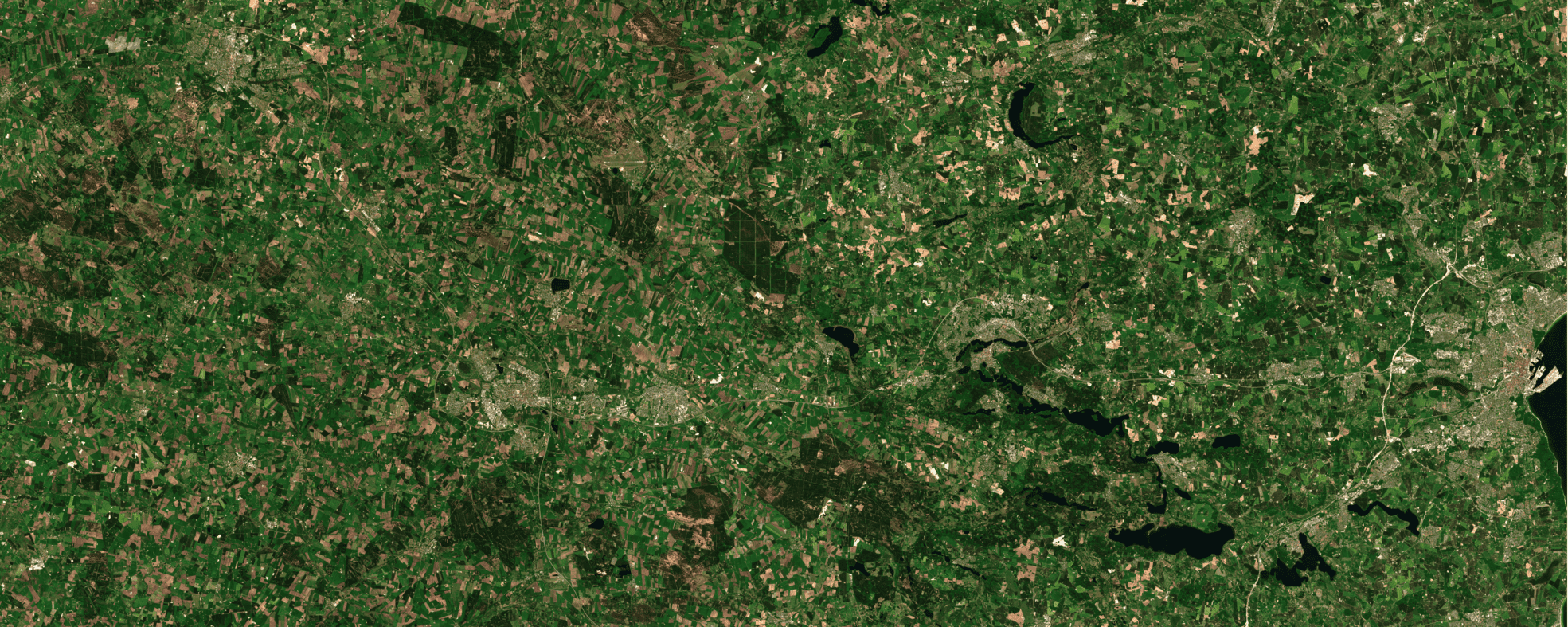
Today, SEGES Innovation provides Danish farmers with continuous access to ClearSKY’s AI-enhanced, cloud-free and fused satellite imagery. Using our Stratus-2 cloud removal model, farmers receive cloud-free imagery every other day, ensuring seamless crop monitoring in all weather.
This high-frequency imagery is seamlessly integrated into SEGES’ CropManager platform, where it serves as the default view for precision agriculture tools and analytics. Farmers can still access original Sentinel-2 images, but ClearSKY provides uninterrupted insights across all seasons.

The Challenge In The Past
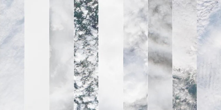
Before adopting ClearSKY, SEGES Innovation struggled with frequent cloud cover in the autumn, making it difficult to obtain reliable Sentinel-2 imagery. Denmark’s prolonged cloudy periods meant nitrogen recommendations often depended on old satellite imagery or guesswork rather than near real-time data.
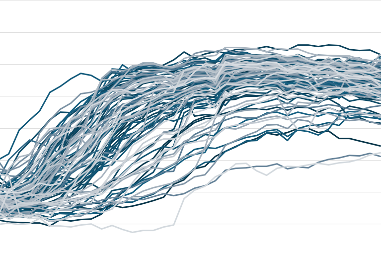
Persistent cloud cover prevented accurate NDRE (Red-Edge Vegetation Index) analysis, hampering fertilization optimization across thousands of fields.

The Cloudless Solution
In late 2022 and 2023, SEGES Innovation turned to ClearSKY for uninterrupted imagery. We processed terabytes of Sentinel-1 SAR and Sentinel-2 data to generate cloud-free NDRE maps that slotted right into their existing workflows.
Field trials across Denmark confirmed these NDRE maps enabled precise nitrogen recommendations, reducing waste and cost, and ultimately earning full integration into CropManager.
“The test showed that a better description of a field’s variation is achieved by using images from ClearSKY than by using the old images, which would be the alternative.”
Rita Hørfarter, SEGES Innovation
The Estimated Impact
As a result, ClearSKY is now fully integrated into SEGES’s CropManager platform, providing Danish farmers with uninterrupted, data-driven insights regardless of cloud cover. That means all Danish farmers using CropManager have access to cloud-free Sentinel-2 imagery every second day throughout the year.
Experience ClearSKY in action in CropManager or read the full case study on Medium.