ClearSKY Joins Copenhagen Hazard Mapping Initiative
2024-03-10 · 1 min read · Partnership · Humanitarian · Demining · Analytics

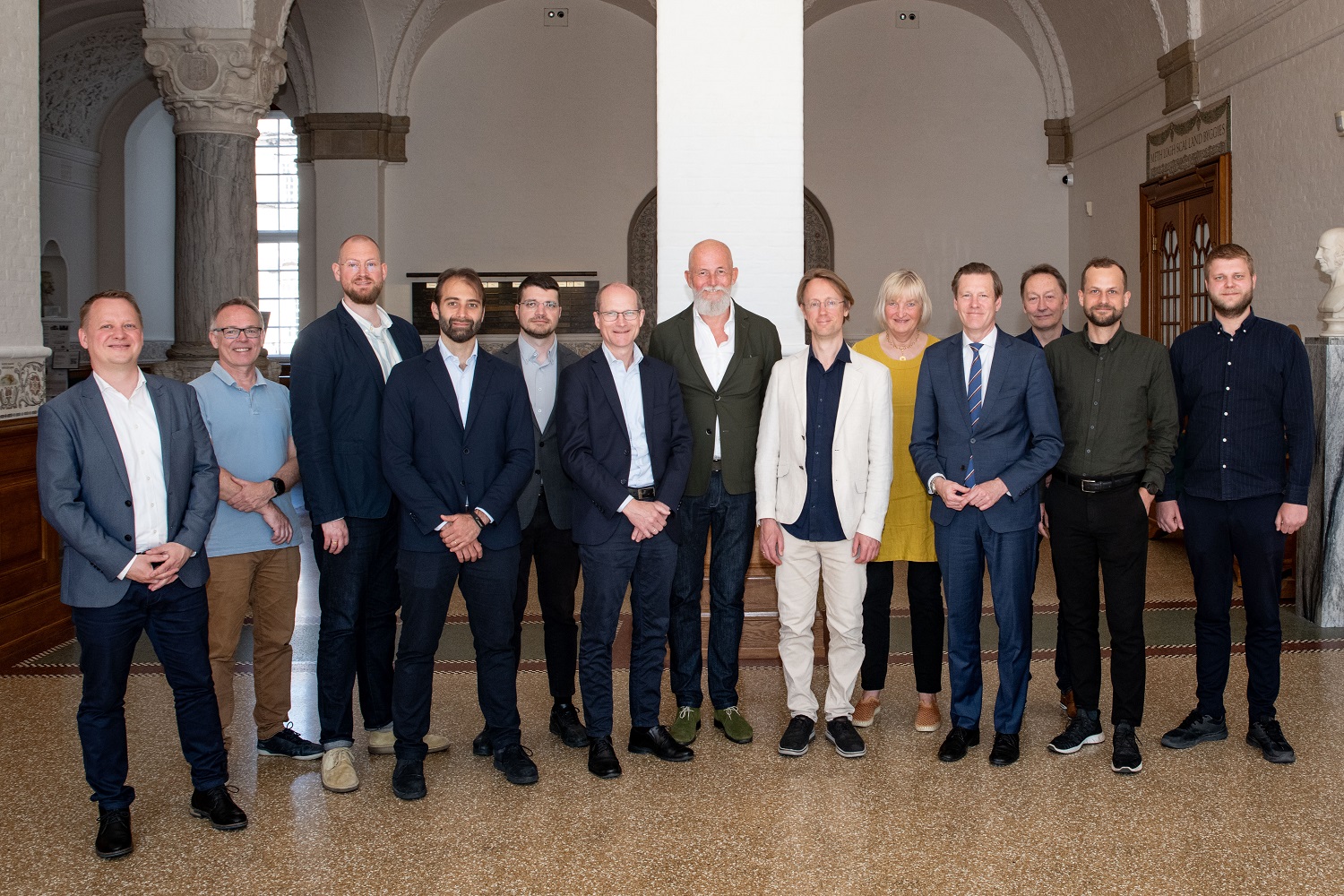
ClearSKY Vision is proud to join the Copenhagen Hazard Mapping (CHM) initiative, contributing our expertise in data fusion, data cleanup, and vegetation analysis. Our focus is to support demining efforts in Ukraine by providing advanced satellite-based insights that help locate hazardous areas more effectively.
Partners and Collaboration
CHM brings together leading partners including DHI, KMD, the University of Southern Denmark (SDU), and the Danish Refugee Council (DRC), among others. By combining domain expertise, humanitarian field experience, and advanced analytics, the initiative strengthens decision-making and accelerates safe, effective demining operations.
Learn more about the initiative at https://chm.ngo.
Leveraging Satellite Data for Humanitarian Aid
Through the integration of our cloud-free imagery and data analytics, we aim to assist demining teams in identifying risk areas with greater precision. This partnership highlights our commitment to using satellite technology for meaningful, real-world applications.